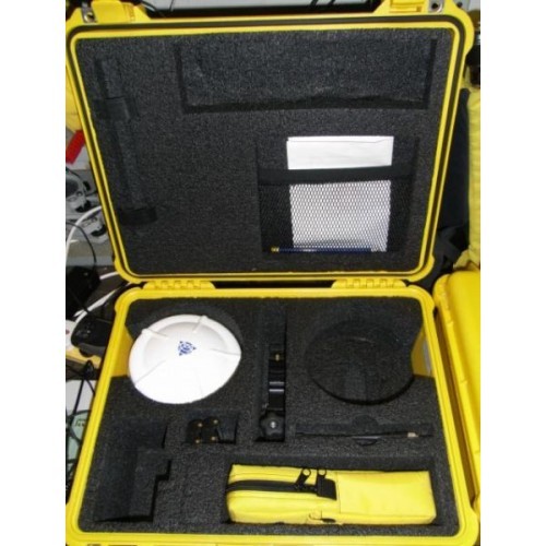
Trimble R8 Detail Pole
Price/Unit : USD 5,120
Description :
The Trimble R8 GNSS System is a multi-channel, multi-frequency GNSS (Global Navigation Satellite System) receiver, antenna, and data-link radio combined in one compact unit. It also supports GLONASS and comprises dual frequency antenna capability (L1 + L2). One step above the 5700, the R8(5800) is able to access a greater number and availability of satellites through both the GPS and GLONASS network and therefore a quicker and more accurate position is able to be achieved.
Application of the Trimble GPS system include: bank top surveys, at point measurements and bathymetry (in channel surveying). The applications of all these can be extended to the creation of Digital Elevation Models (DEMs)/TINS/Meshes and application to the modelling of the environment including relative flow conditions. Further applications include surveying the location of GPR transects and sediment sample sites and the establishment of repeat survey control networks.
Main Products
Surveying Equipments, Surveying Tools, Total Station
